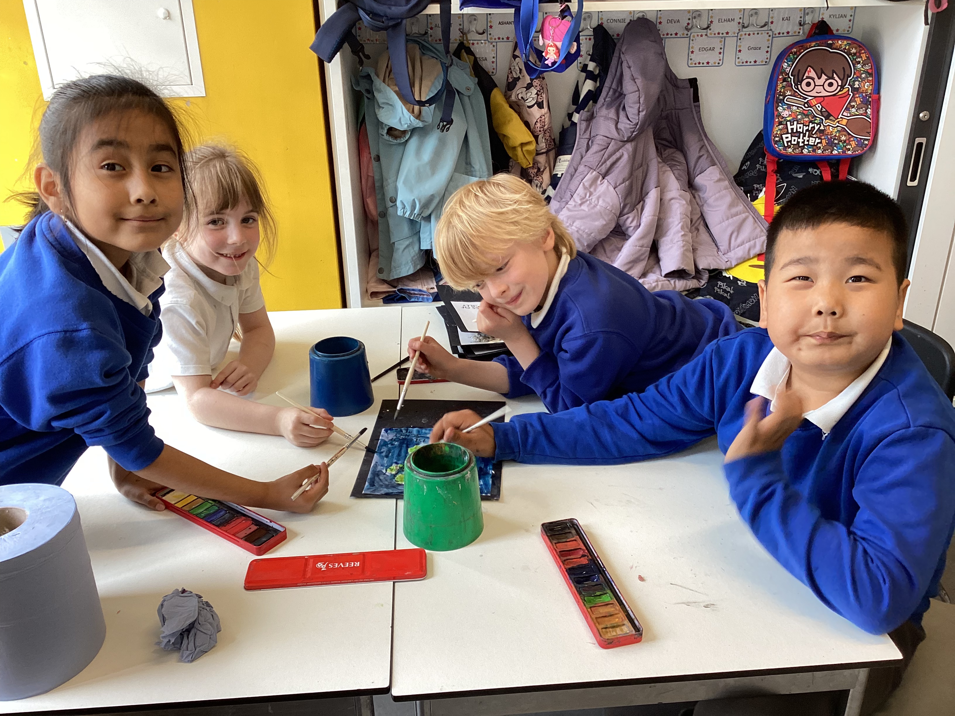
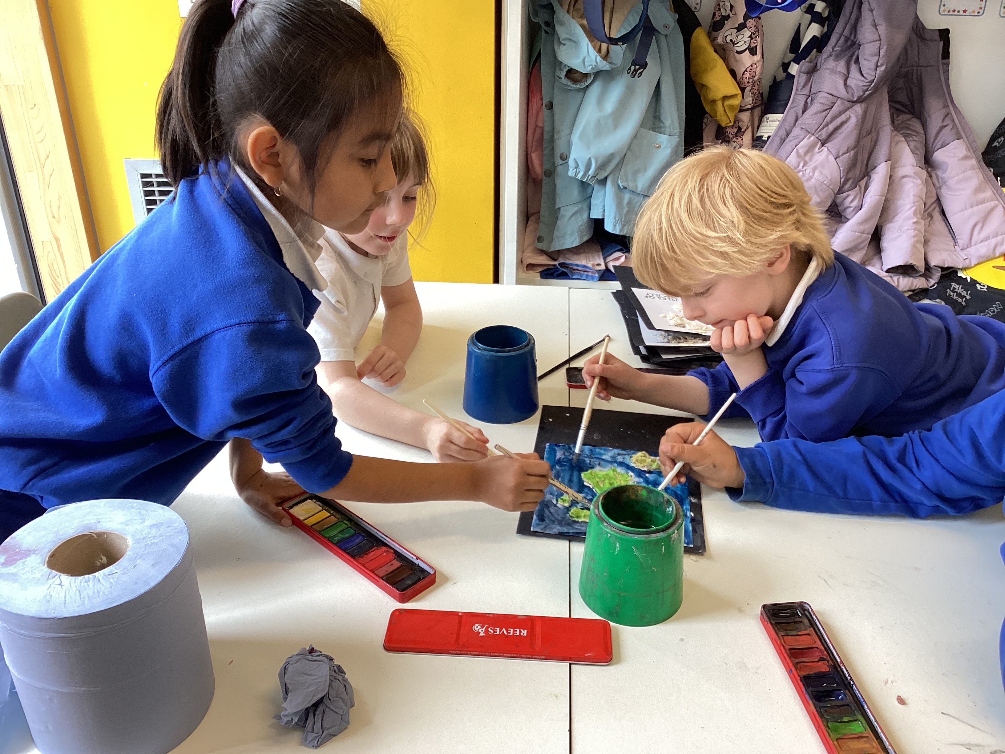
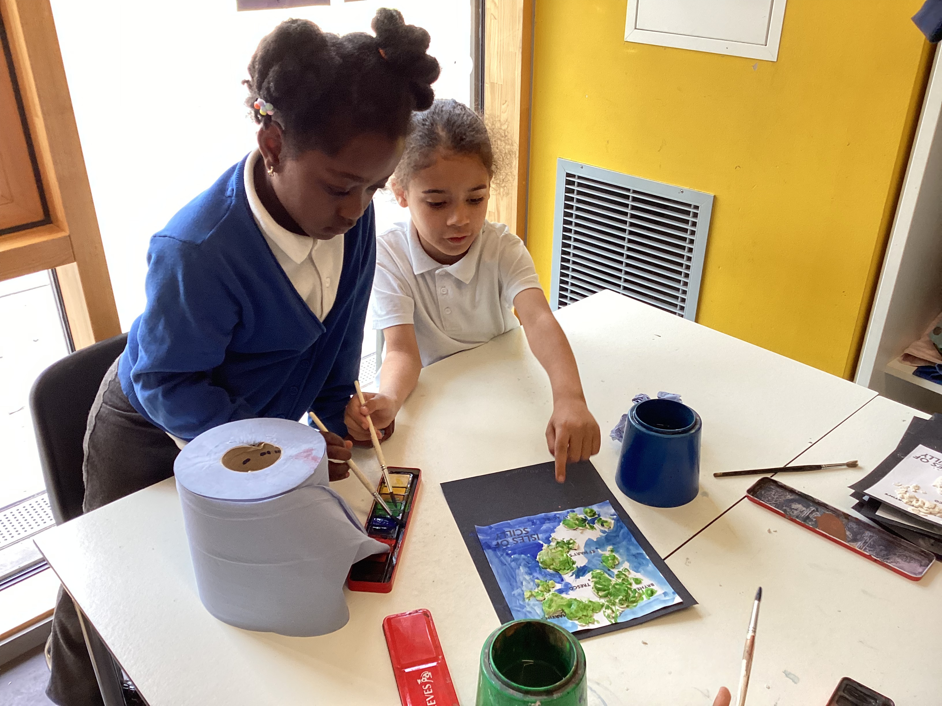
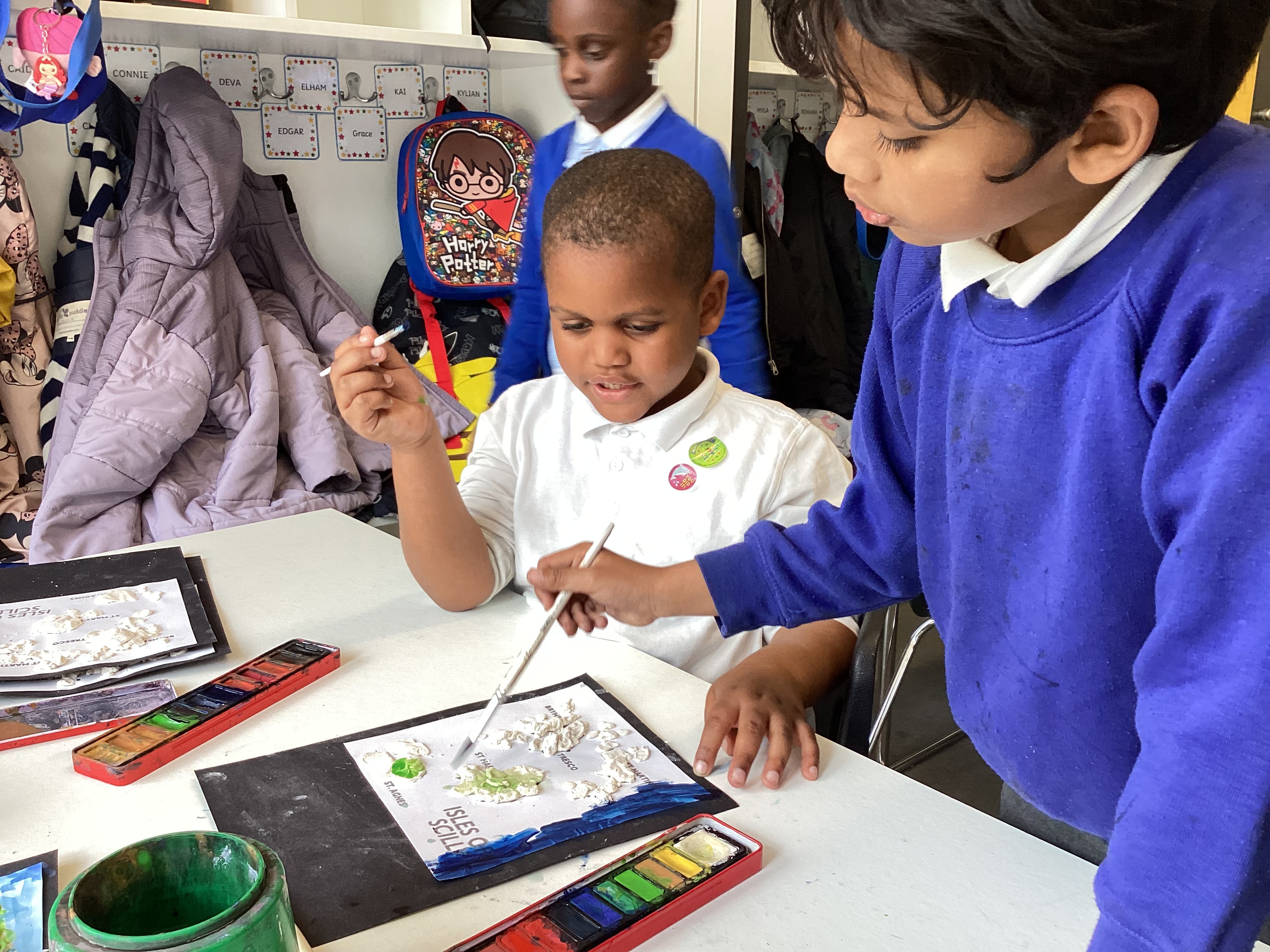
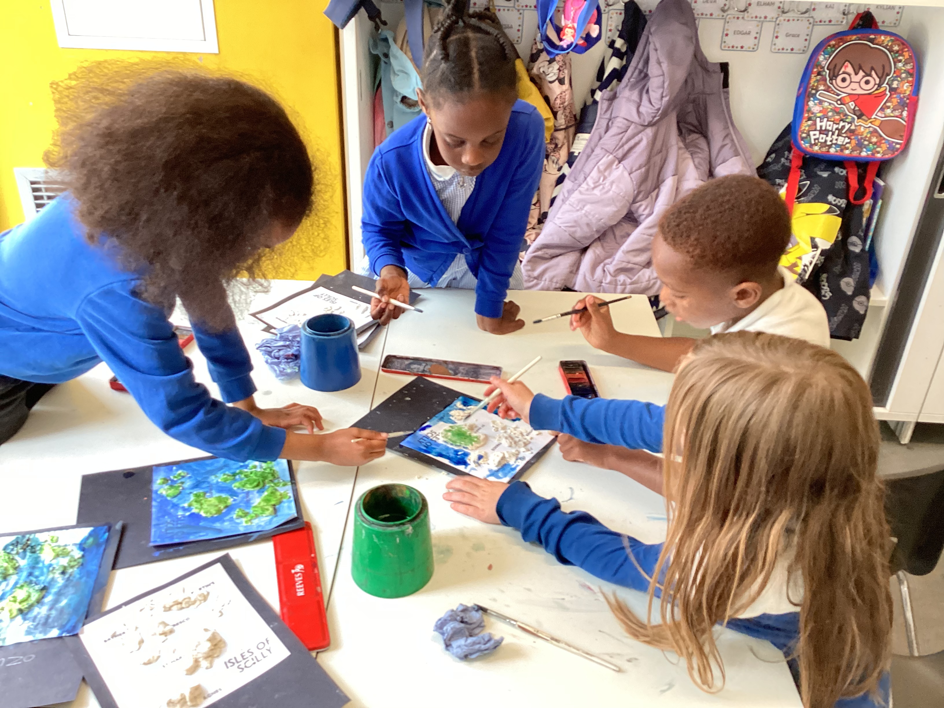
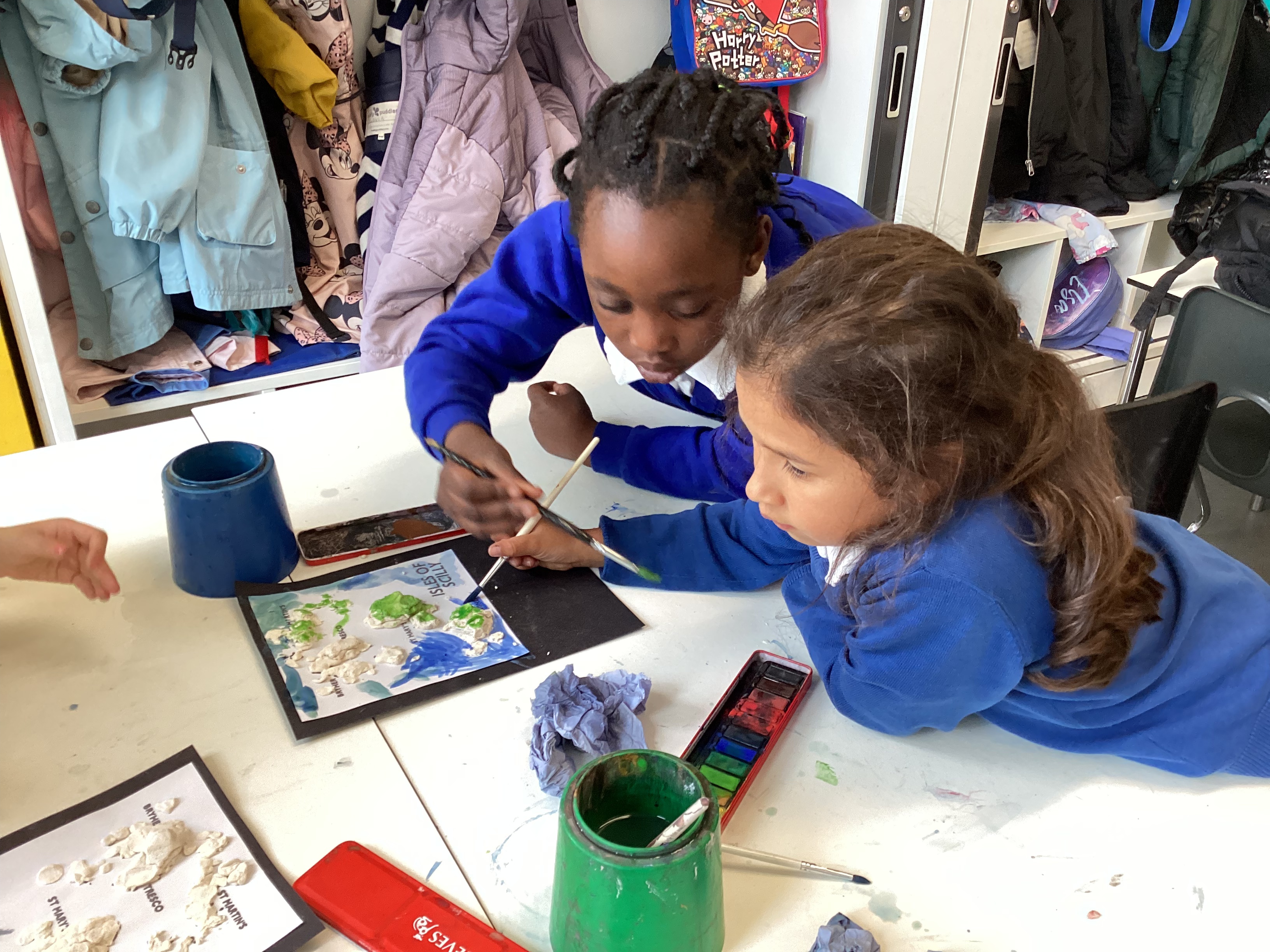
This term in Geography, Year 2 are learning about the Isles of Scilly, a small group of islands off the south-west coast of England. As part of our locational knowledge, we are learning to identify the UK and its surrounding seas and to name and locate significant places on a map.
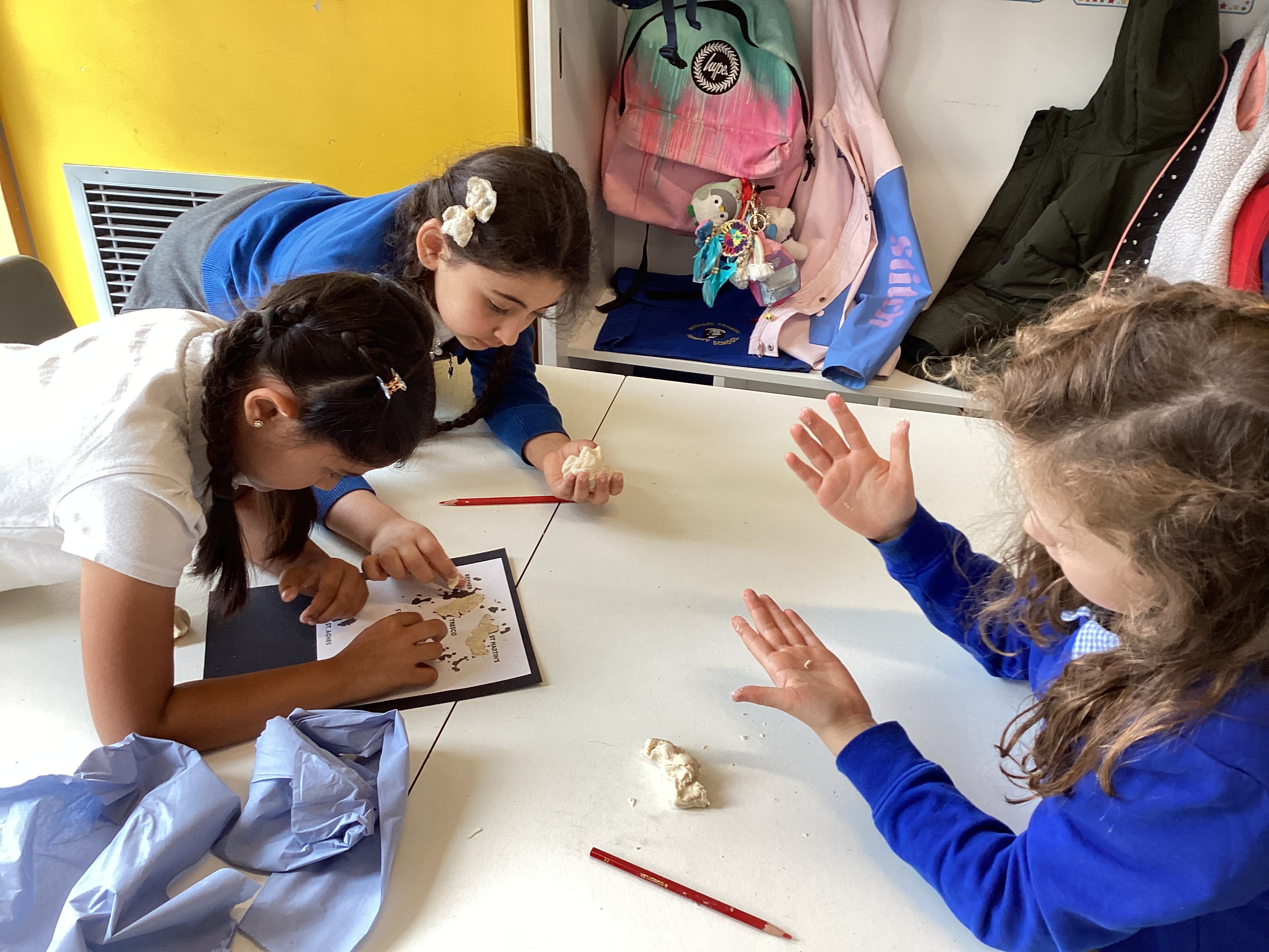
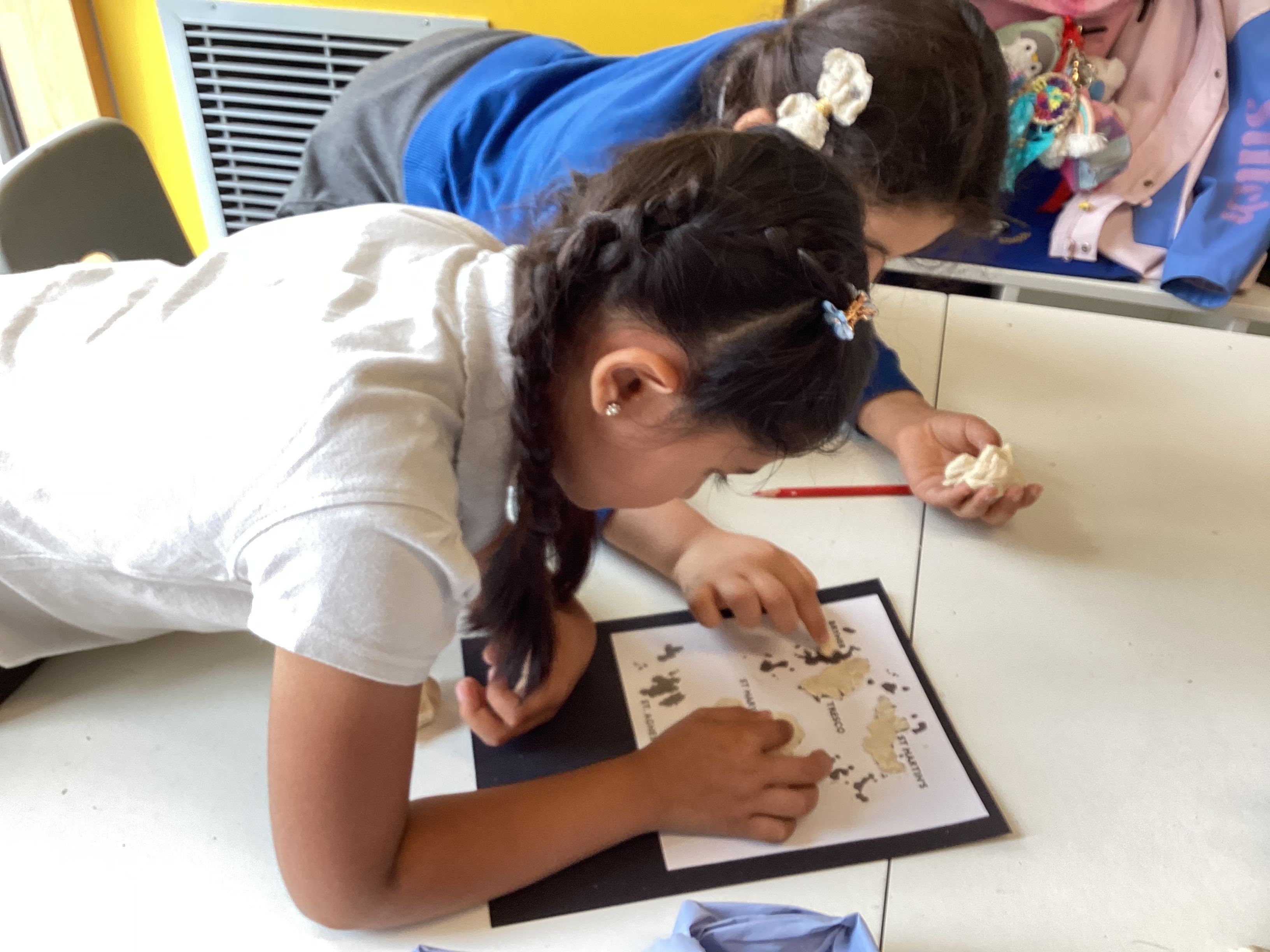
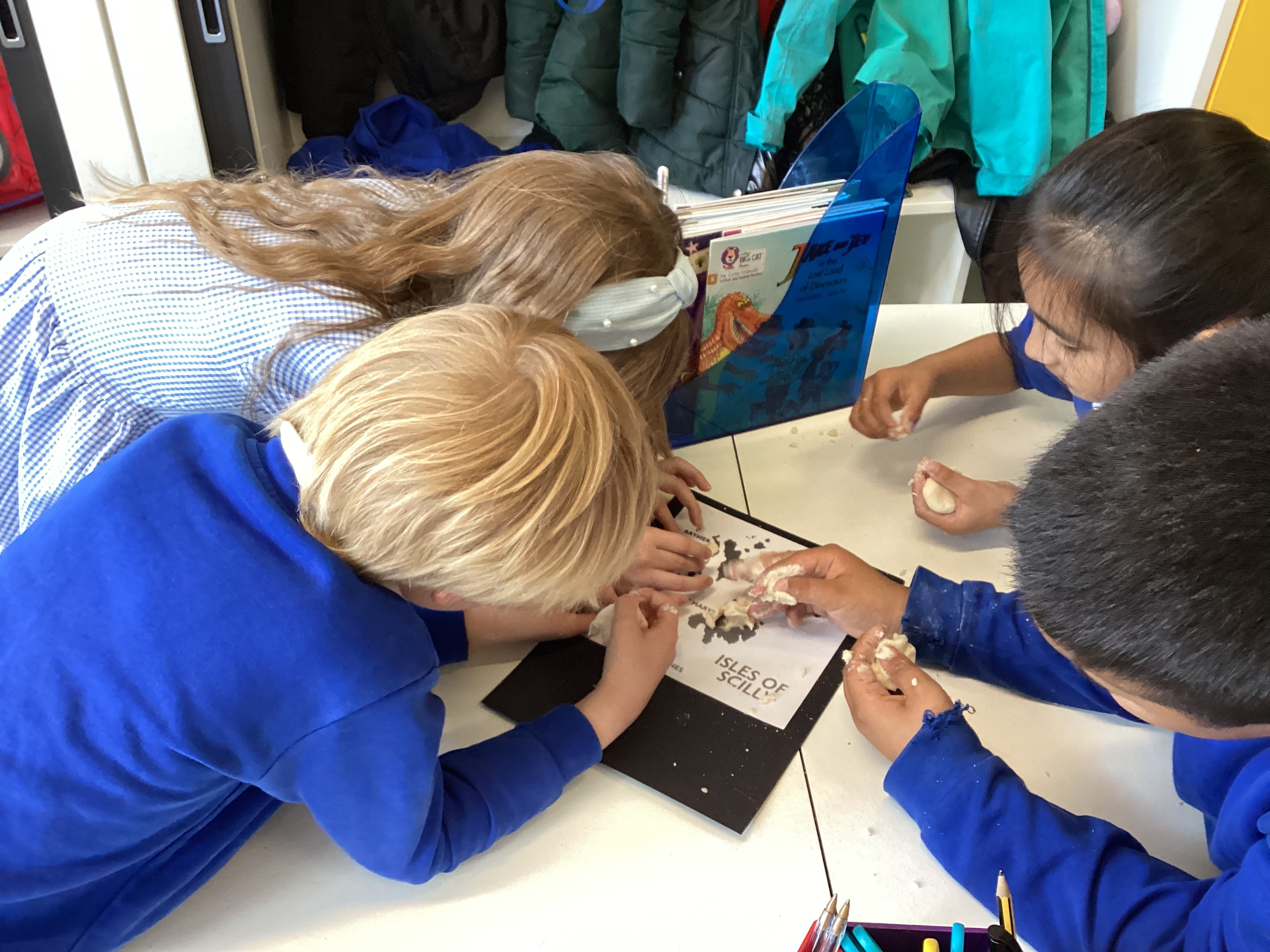
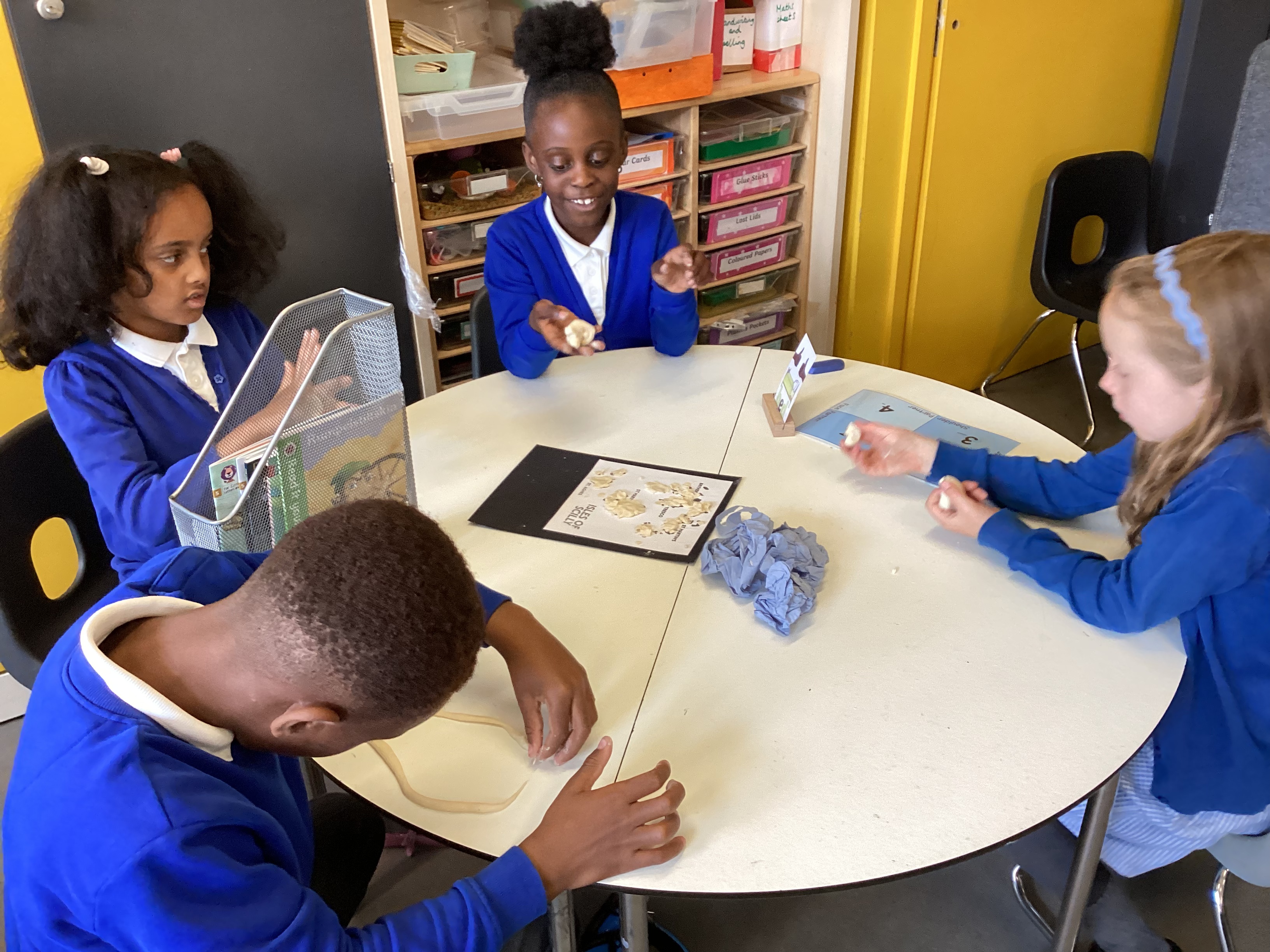
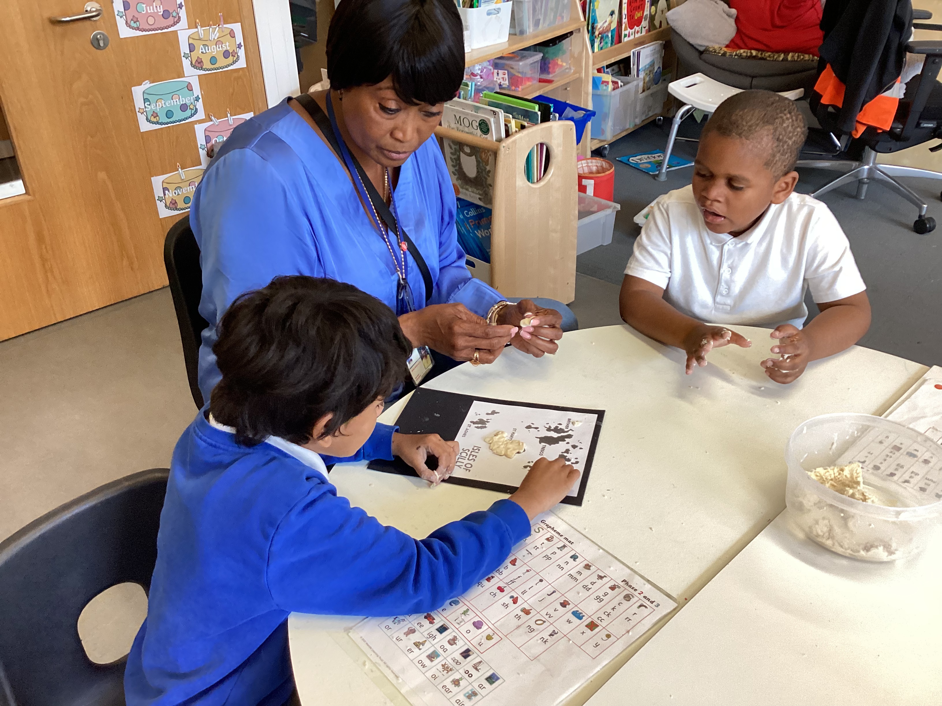
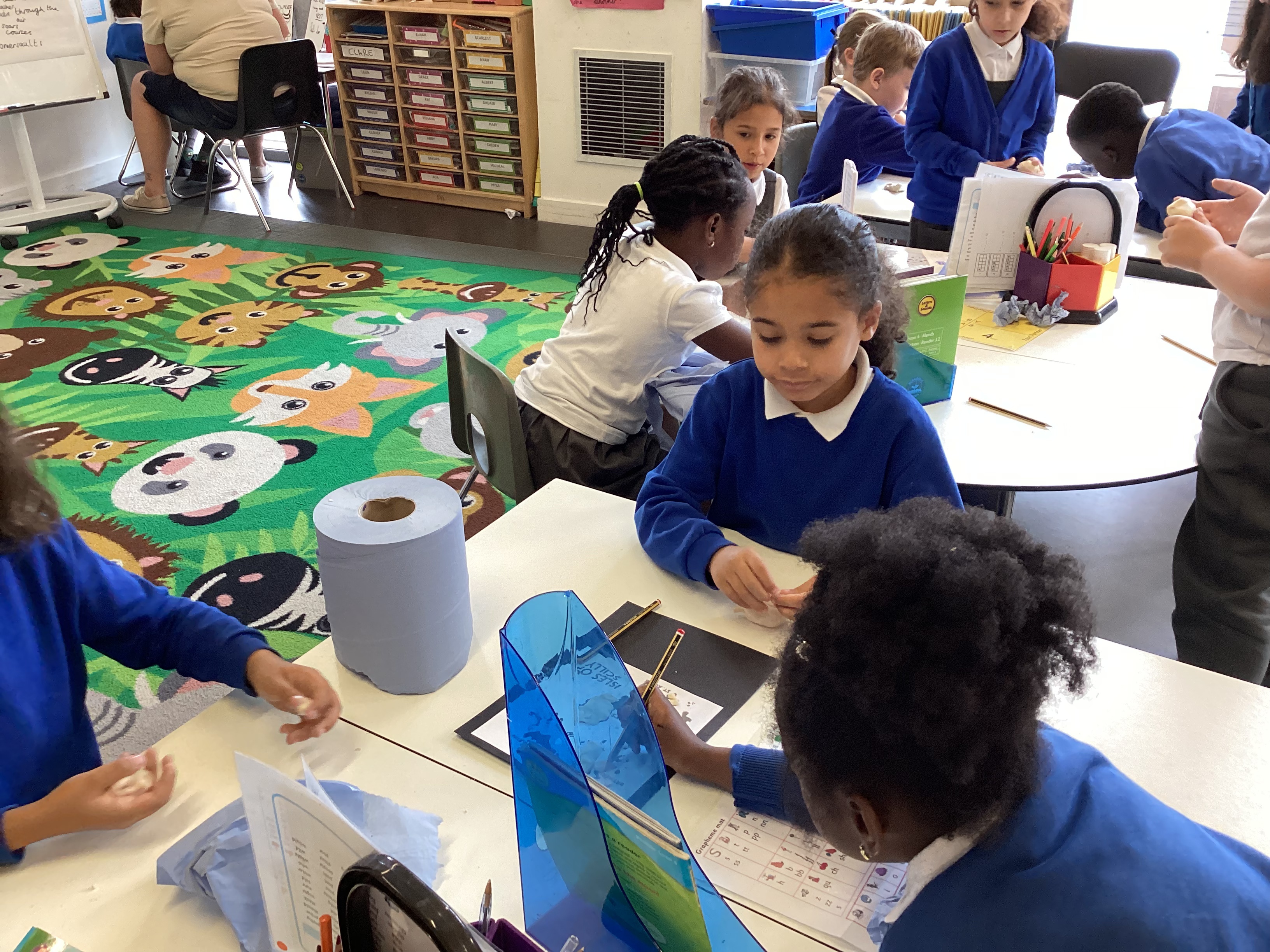
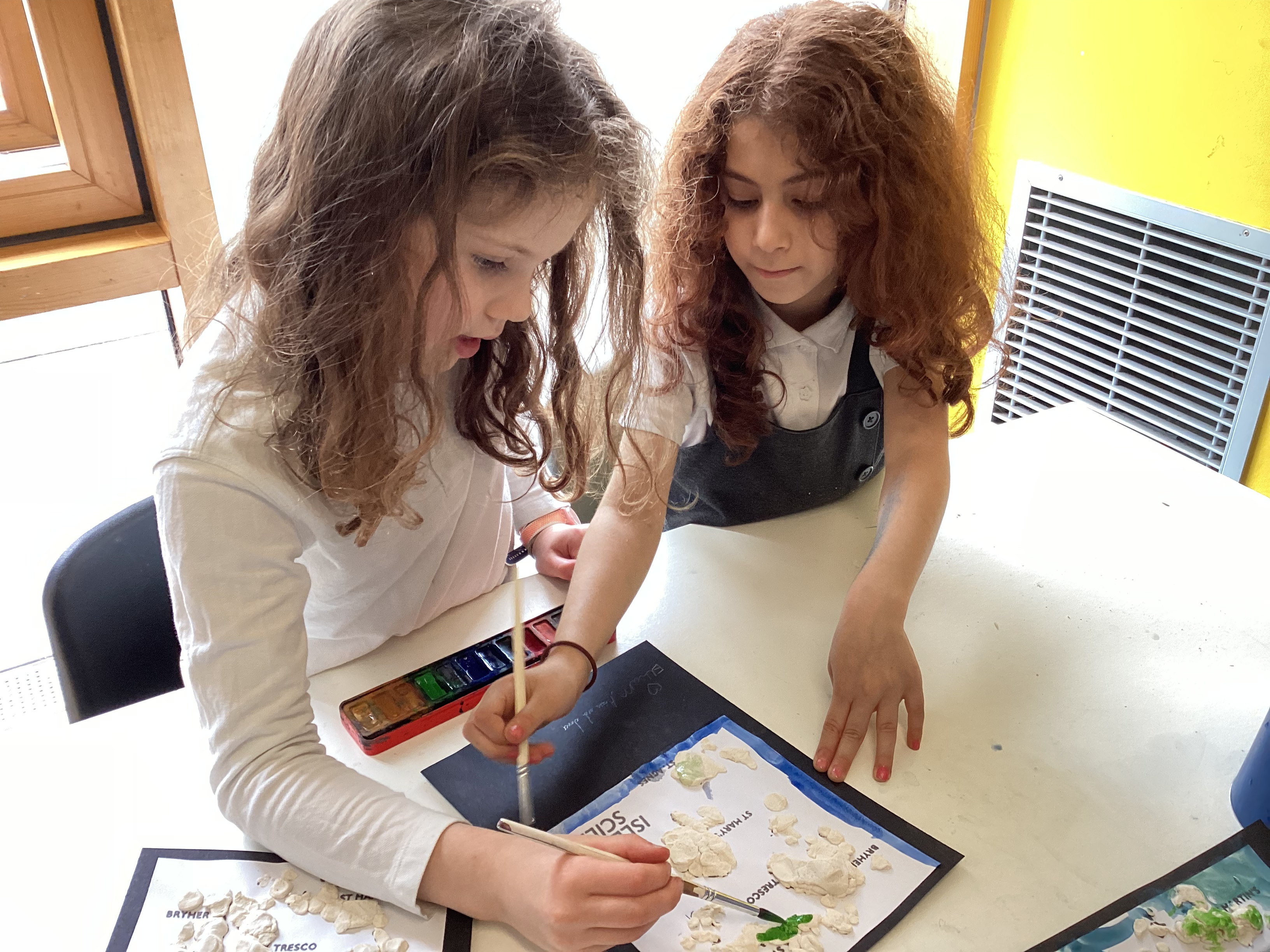
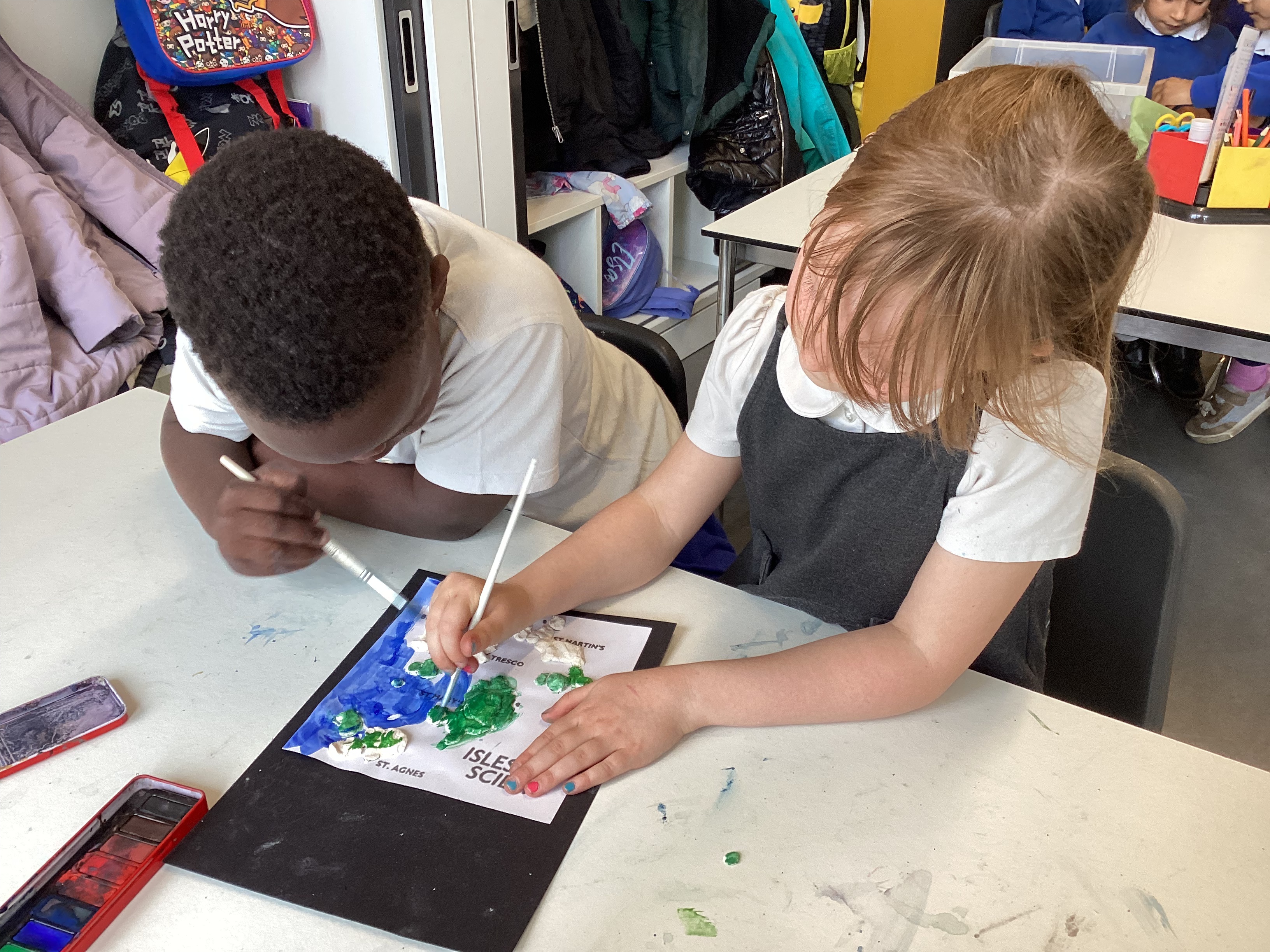
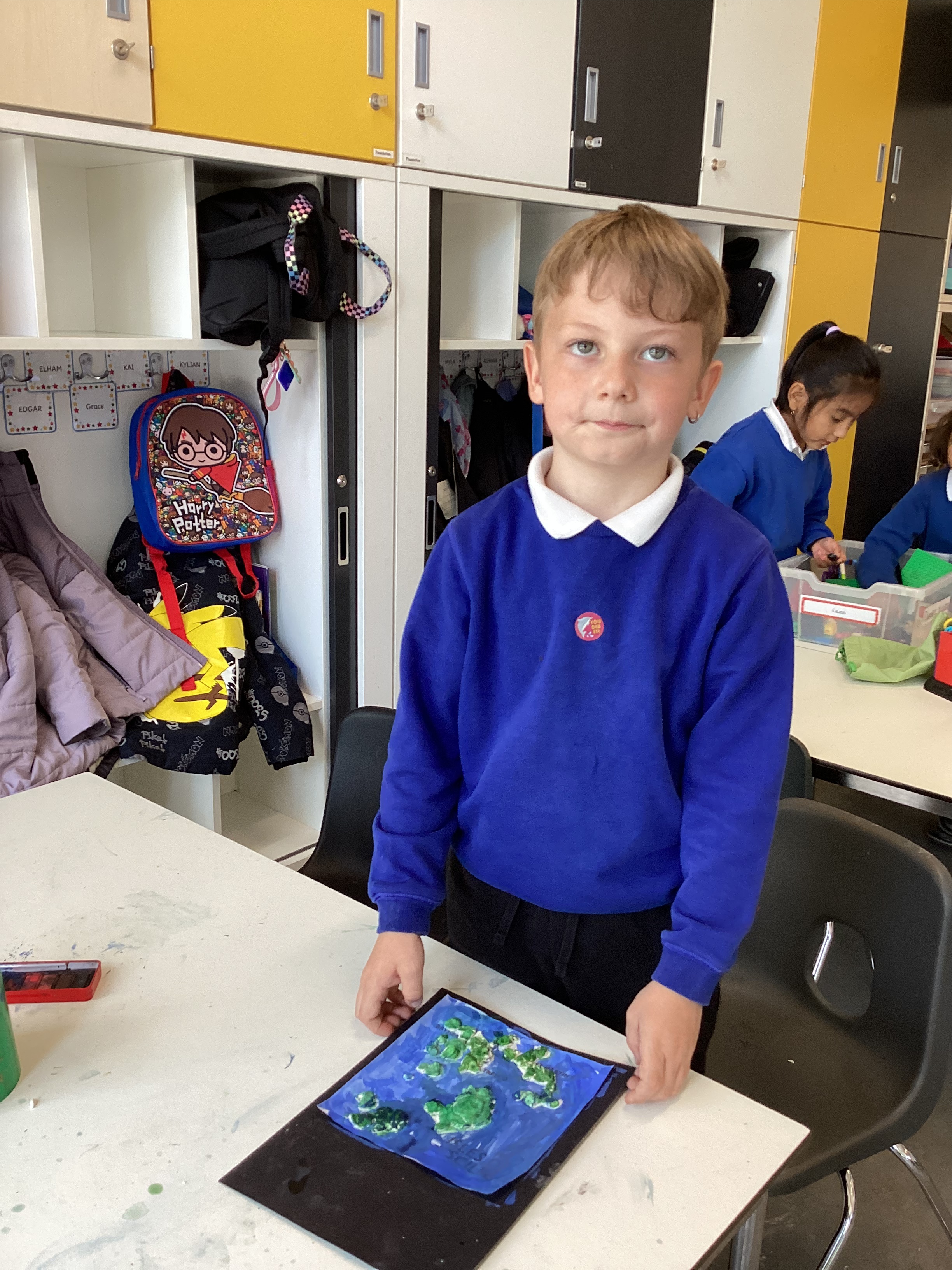
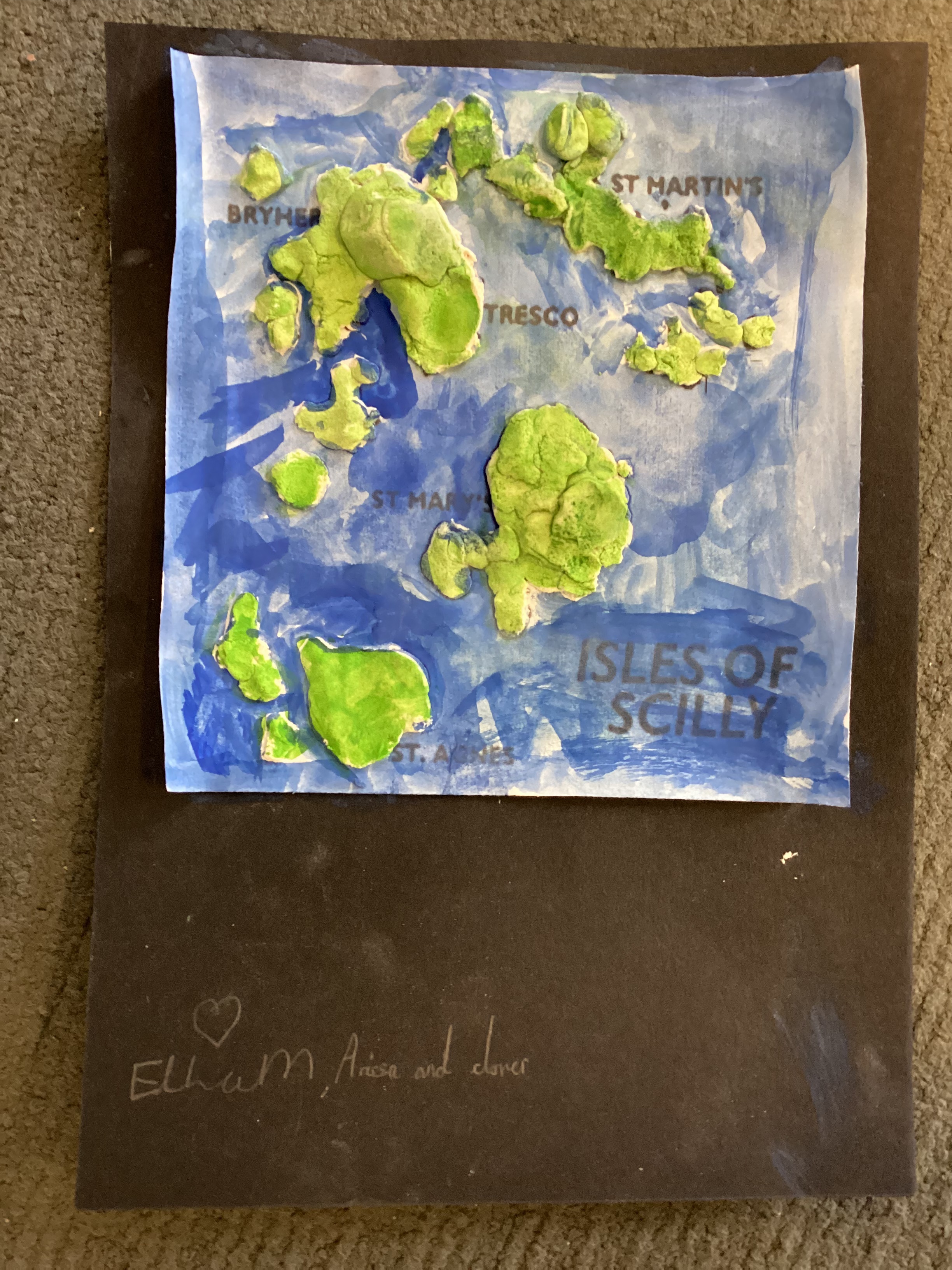
To kick off our topic, we used salt dough to create our own maps of the islands! This hands-on activity helped us learn about the physical geography of the area, such as the shape and position of the islands and to think about how maps represent land and sea.
We labelled the five inhabited islands on our maps:
🟢 St Agnes
🟢 St Mary’s
🟢 Tresco
🟢 Bryher
🟢 St Martin’s
Keep an eye out for more of our work as we become expert geographers!