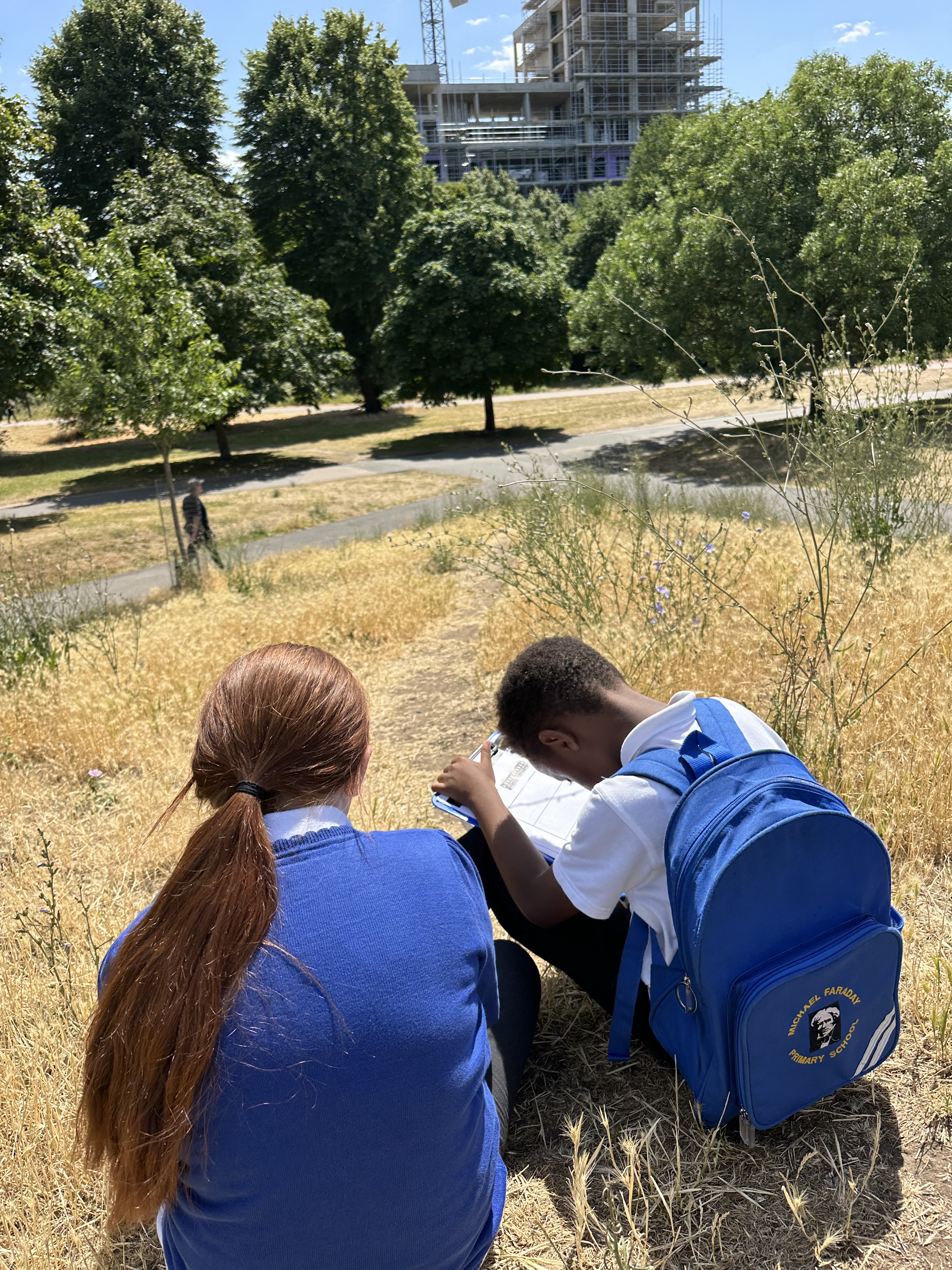
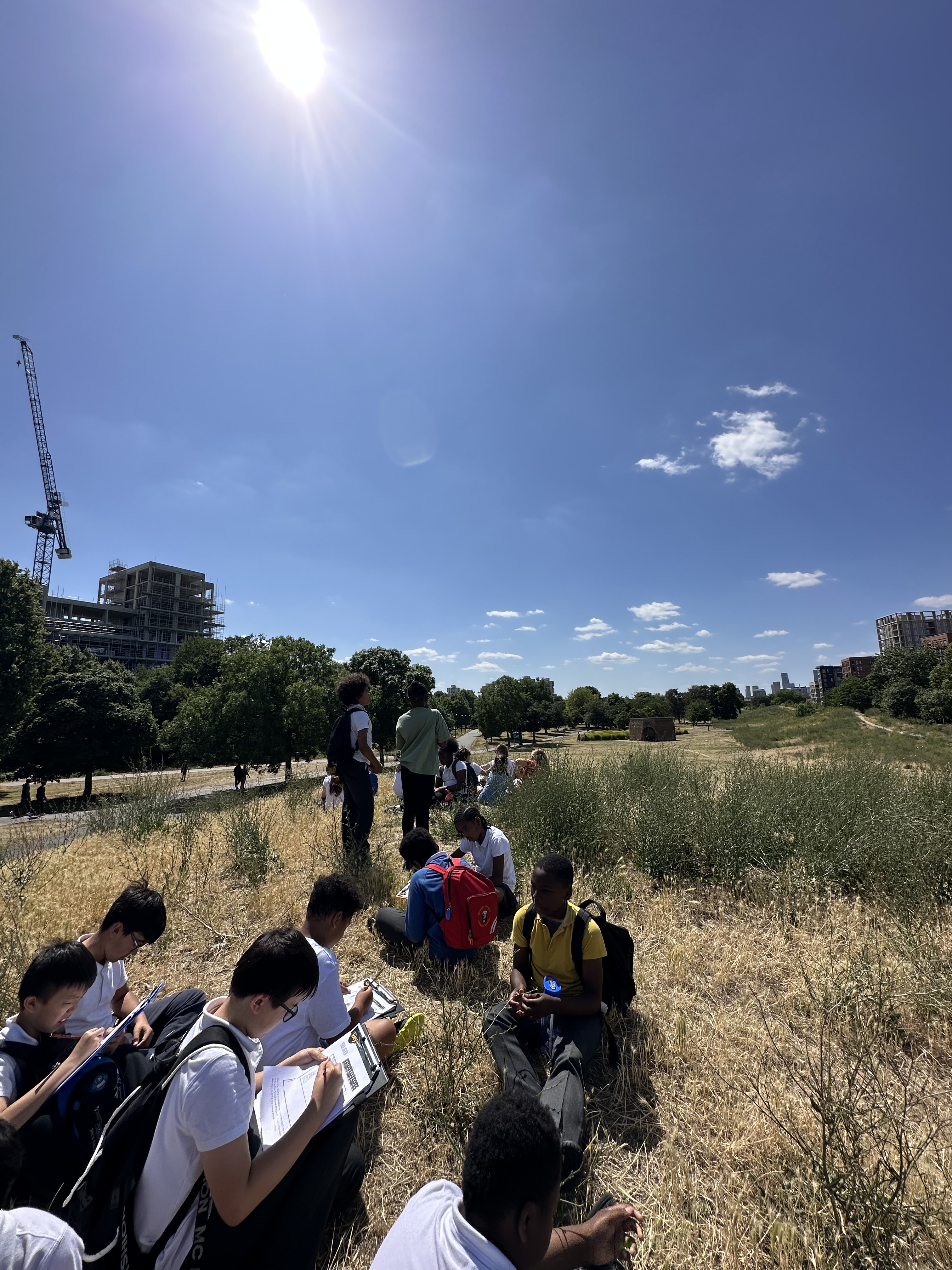
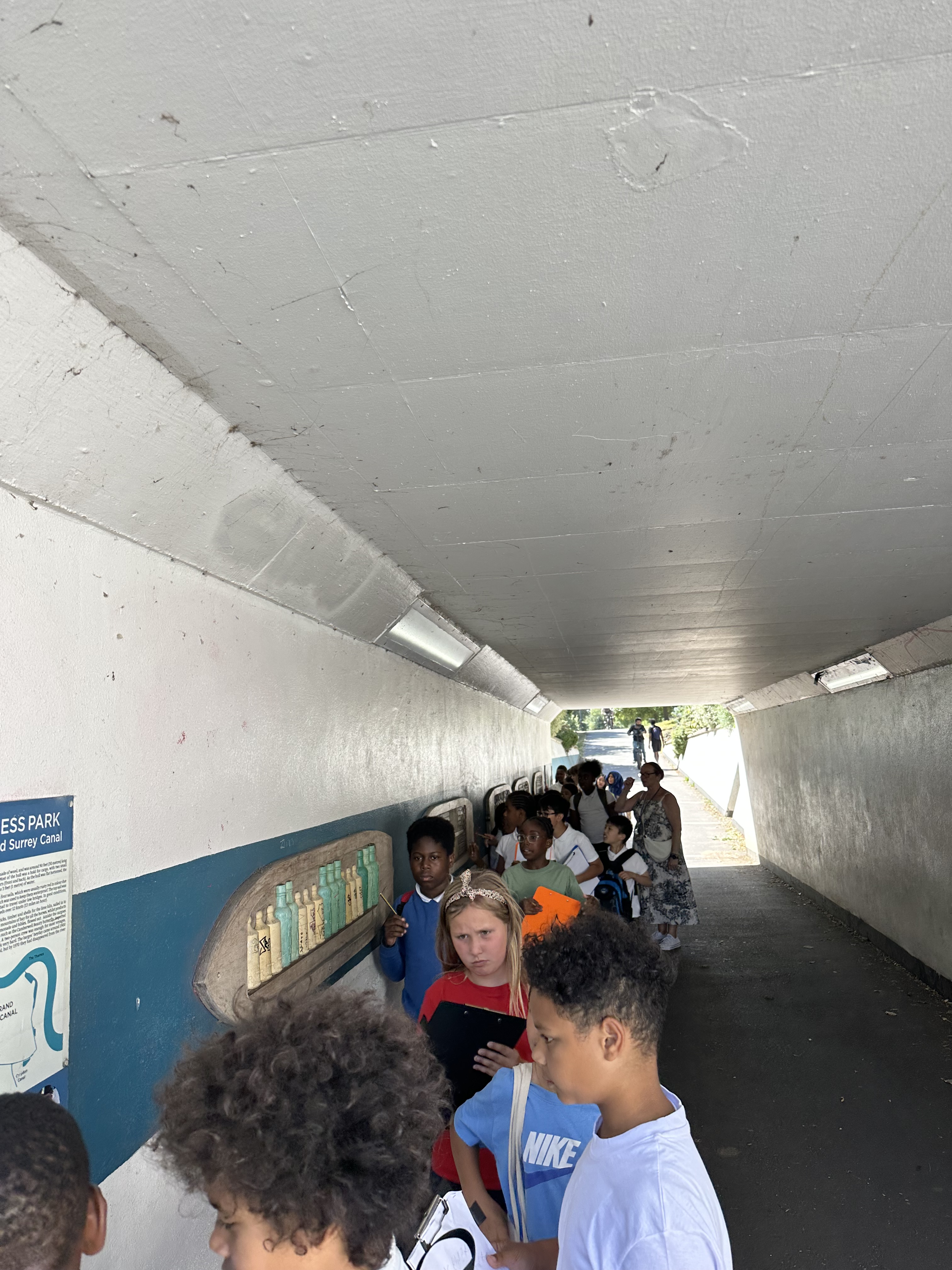
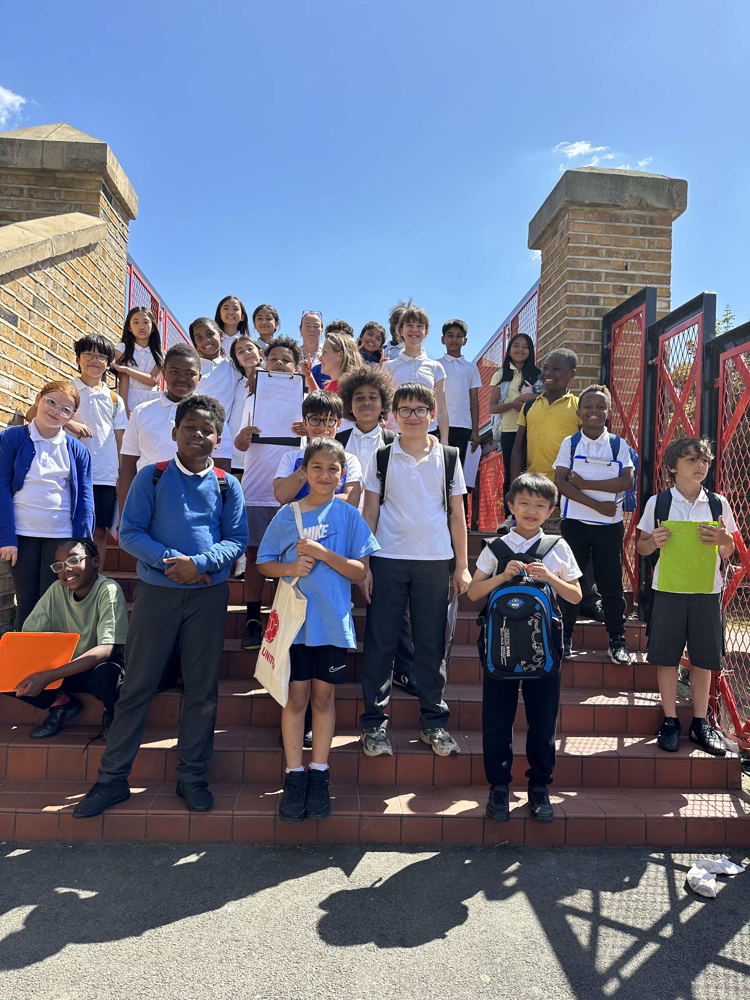
In Geography, Year 5 have been busy conducting local fieldwork as part of our topic on Changes in the Local Area. We explored Burgess Park and the streets surrounding our school, where we carried out building surveys, retail surveys, environmental quality assessments and field sketches. These activities helped us observe how the area is used and how it has changed over time.
As part of our study, we also explored the redevelopment plans for the Aylesbury Estate. This gave us valuable insight into how urban areas can evolve and the impact planning decisions have on local communities.
Alongside our fieldwork, we have been developing key geographical skills, including reading 4- and 6-figure grid references, identifying the different boroughs of London, and using compass directions to describe locations accurately.
Next week, we will be rounding off our topic by creating our own land-use maps of the local area—putting all of our learning into practice!
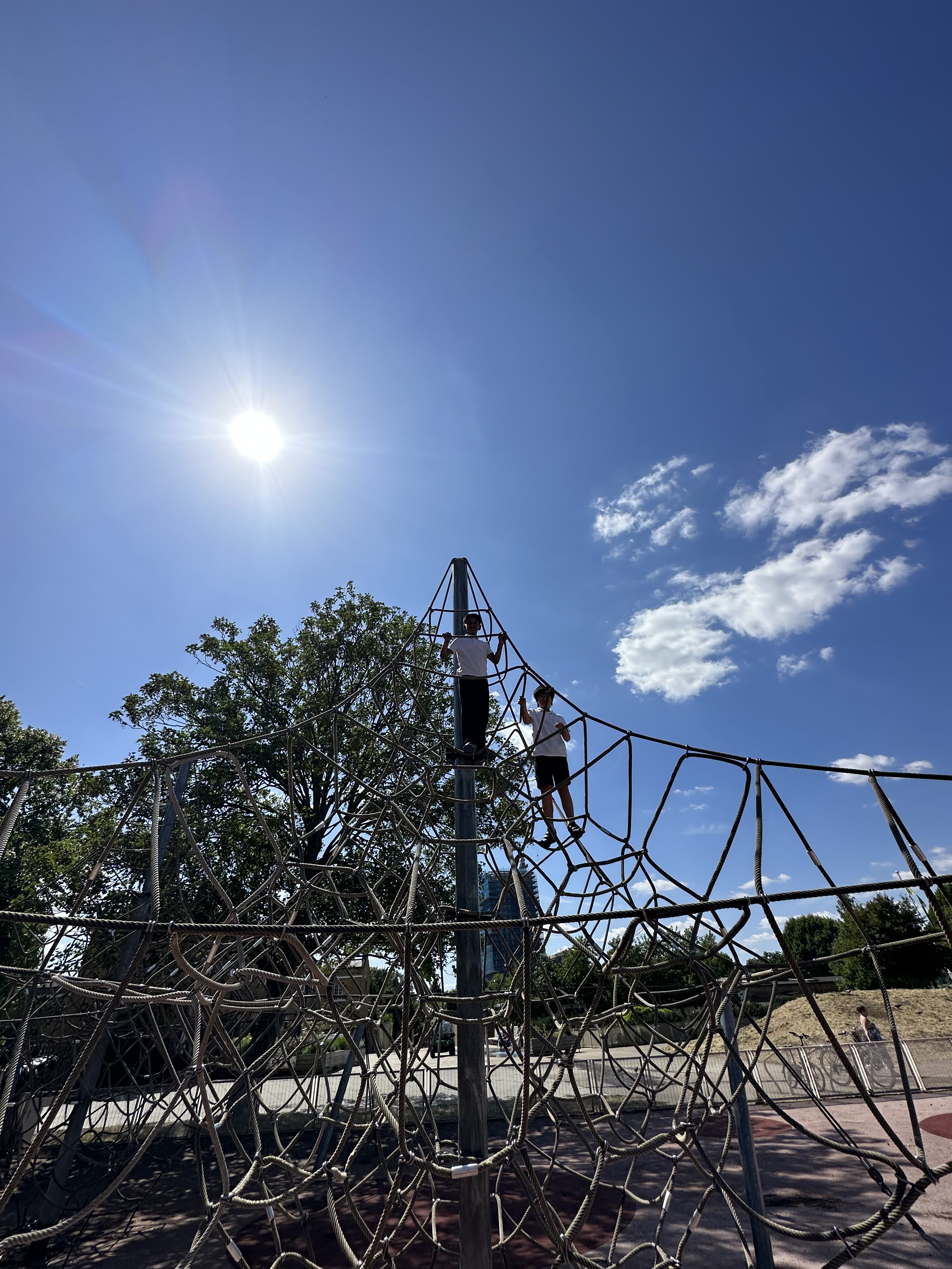
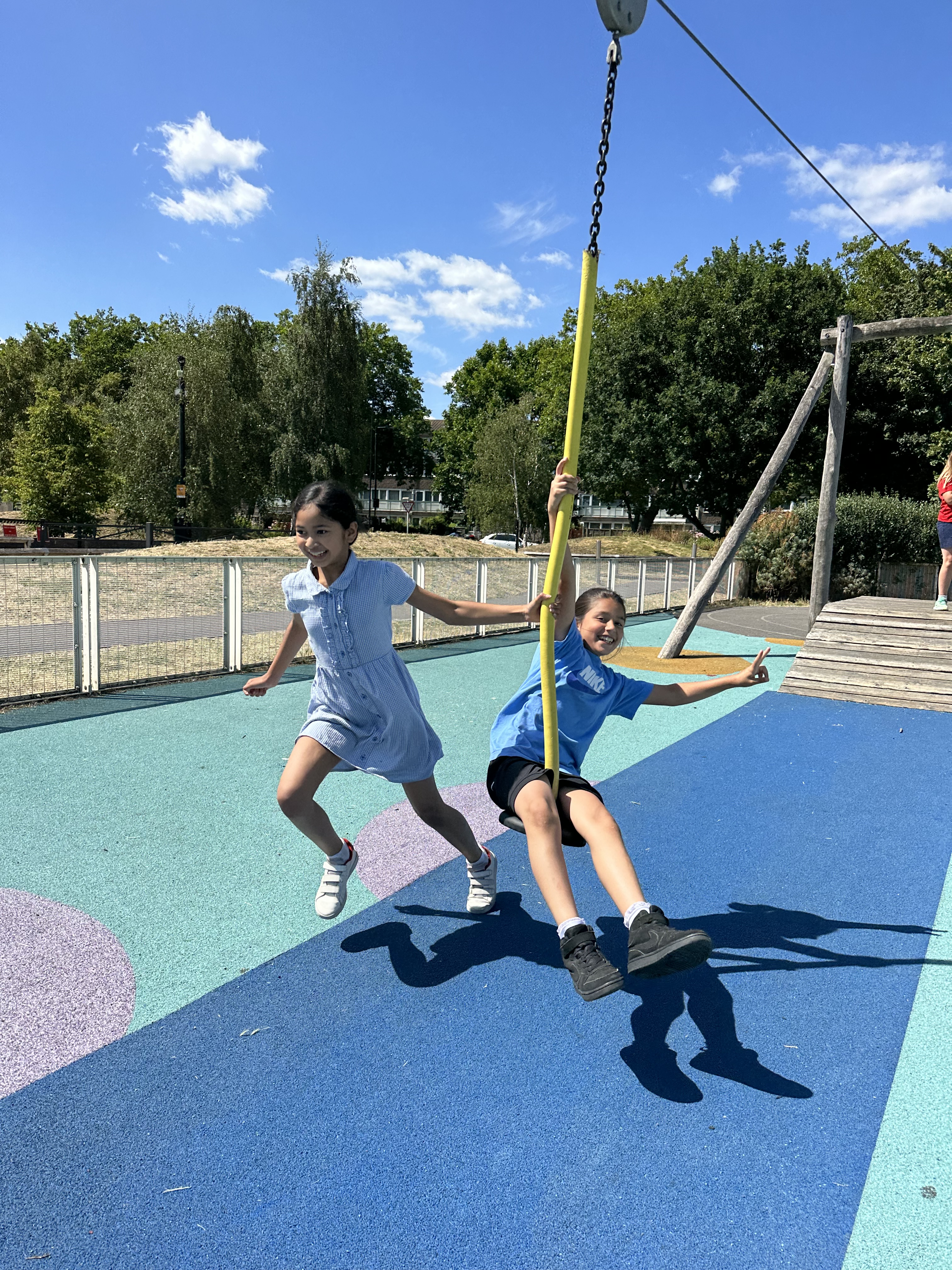
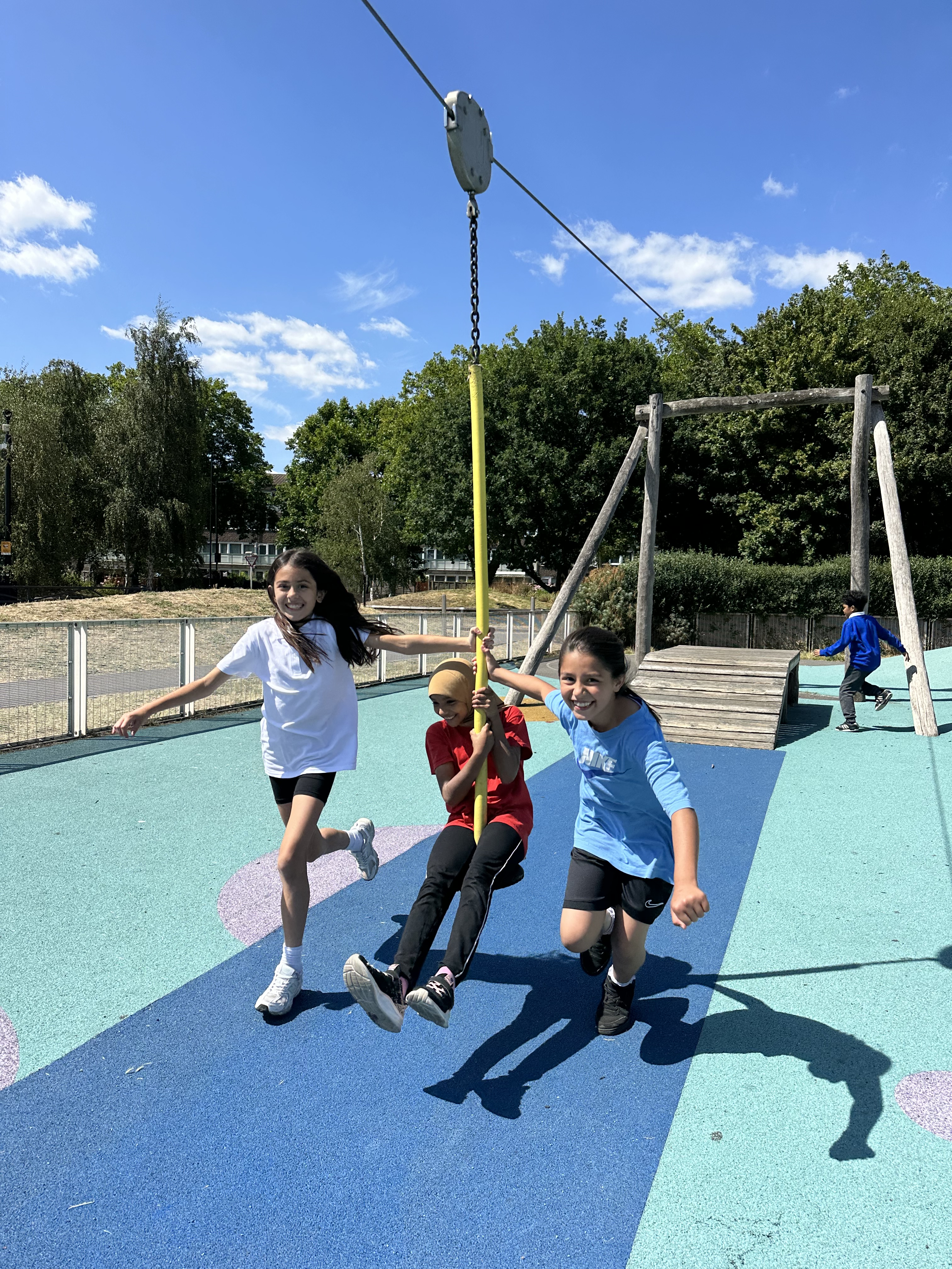
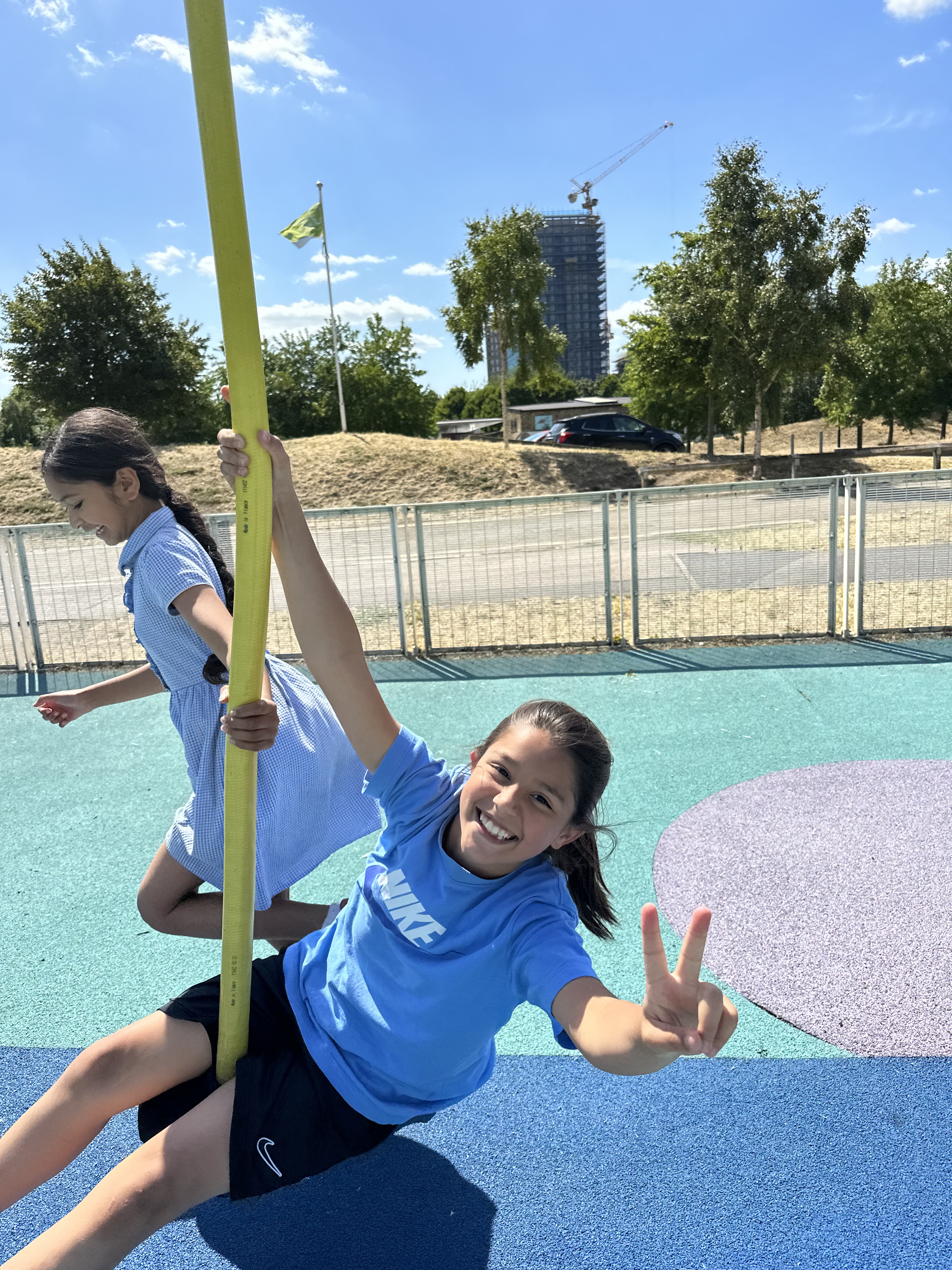
Year 5 have shown fantastic curiosity, teamwork, and enthusiasm throughout the topic. As a reward for their hard work, they enjoyed a well-deserved afternoon break in the Burgess Park playground.